Harvest Terrain
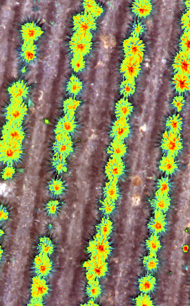
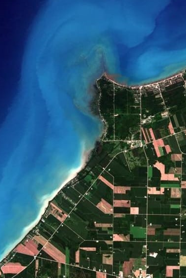
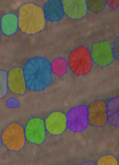
Harvest Terrain is a powerful tool designed to transform raw drone imagery into high-resolution orthomosaics. With advanced image processing algorithms, it enables farmers and agriculture professionals to create detailed maps of their fields, allowing for precise analysis and decision-making. Whether it's identifying crop health, monitoring irrigation, or planning drainage systems, Harvest Terrain provides the essential data for optimizing agricultural operations.
Try Harvest Terrain